LIVE Global accident monitoring — updating every 15 minutes
Corridor watch · United States · 1,239 km

I-84 (Oregon–Idaho) Accidents Today — Live Corridor Watch

Quick answer: 0 news reports naming the I-84 (Oregon–Idaho) in the last 24 hours, 0 in the last 7 days; 3 official live incidents on or near the road right now; 0 geocoded reports within 18 km. The I-84 (Oregon–Idaho) is the 770-mile western I-84 from Portland along the Columbia River Gorge through Pendleton, Boise and Twin Falls to I-80 at Echo, Utah — a separate road from the eastern I-84 in Connecticut and New York.

0
Reports naming the I-84 (Oregon–Idaho)
last 24 hours
0
Last 7 days
headline mentions
3
Official incidents now
within 18 km of the road
1,239
Kilometres
14 waypoints · Portland → Echo
— zones in view
I-84 (Oregon–Idaho) corridor Accident report · last 24h Official traffic incident Toggle CAMERAS on the map for live views
Headlines

Latest reports naming the I-84 (Oregon–Idaho)

News items from the last 7 days whose headline names the road, country-matched. Every item links to the publisher.

No headline has named the I-84 (Oregon–Idaho) in the last 7 days. Live country-wide reports are on the United States page.

Official feeds

Live incidents on or near the I-84 (Oregon–Idaho) right now

Transport-authority and traffic-data incidents within 18 km of the centreline, nearest first.

SourceAreaDetailskm from road
ODOT TripCheckOregonCrash: I-84, I-84, 19 miles West of La Grande0.3
ODOT TripCheckOregonCrash: I-84, I-84, 9 miles East of La Grande2.3
ODOT TripCheckOregonRoad Surface Collapse: OR-201, ORE201, Ontario3.3
Official DOT feeds · live snapshots

Live traffic cameras along the I-84 (Oregon–Idaho)

Public traffic-camera snapshots nearest to the latest geocoded reports on this page, straight from the transport authority. Images refresh on their own schedule (seconds to minutes); a camera is picked by distance and is not necessarily pointed at the incident.
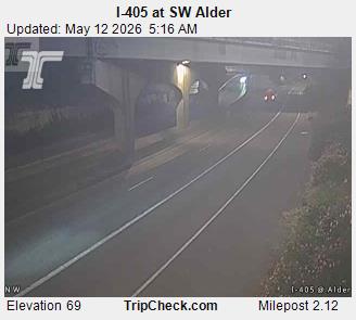
Traffic camera: I-405 at SW Alder
I-405 at SW AlderOregon TripCheck (ODOT) · 0.5 km from: Portland
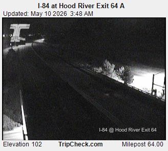
Traffic camera: I-84 at Hood River Exit 64 A
I-84 at Hood River Exit 64 AOregon TripCheck (ODOT) · 1.4 km from: Hood River
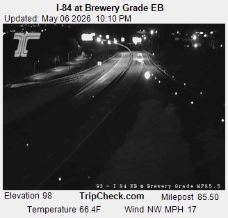
Traffic camera: I-84 at Brewery Grade EB
I-84 at Brewery Grade EBOregon TripCheck (ODOT) · 0.9 km from: The Dalles
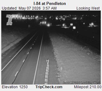
Traffic camera: I-84 at Pendleton
I-84 at PendletonOregon TripCheck (ODOT) · 0.9 km from: Pendleton
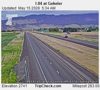
Traffic camera: I-84 at Gekeler
I-84 at GekelerOregon TripCheck (ODOT) · 3.1 km from: La Grande
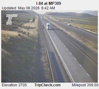
Traffic camera: I-84 at MP309
I-84 at MP309Oregon TripCheck (ODOT) · 6.9 km from: Baker City
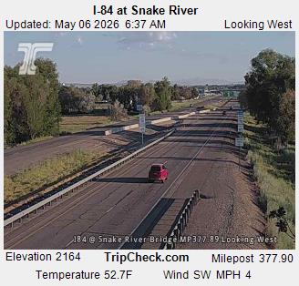
Traffic camera: I-84 at Snake River
I-84 at Snake RiverOregon TripCheck (ODOT) · 2.8 km from: Ontario OR
Traffic camera: Camera 542
Camera 542Idaho 511 (ITD) · 0.2 km from: Boise

Camera data: TripCheck / Oregon Department of Transportation (all 1,143 cameras) · Idaho 511 / Idaho Transportation Department (all 439 cameras). Snapshots are served by the authority and are not stored by this site. Cameras marked Live video play inline; the rest are still images refreshed by the authority.

Historical data

I-84 (Oregon–Idaho) accident history

Recorded fatal crashes (NHTSA FARS 2020–2024) on this road by year, severity, road user, place and time of day.

Questions

I-84 (Oregon–Idaho) — FAQ

Is there an accident on the I-84 (Oregon–Idaho) today?
No news report naming the I-84 (Oregon–Idaho) has reached our feeds in the last 24 hours. The list below shows the most recent mentions from the last 7 days; official live incidents inside the corridor appear in the table when an authority publishes them.
Where does this I-84 (Oregon–Idaho) page get its data?
Three places, none of them estimated: (1) news headlines from GDELT, Google News RSS and GNews that name the road, country-matched so the British M1 and the Pakistani M-1 are never mixed up; (2) official incident feeds already on this site (511 systems, state DOT ArcGIS layers, city feeds, MapQuest) filtered to points within 18 km of the road's centreline; (3) the live traffic-camera index for cameras nearest to each waypoint.
How is 'near the I-84 (Oregon–Idaho)' defined?
The road is stored as 14 waypoints (Portland, Hood River, The Dalles, Pendleton…). A report or incident counts as on the corridor when it lies within 18 km of the line between those waypoints. City-level geocoded reports are approximate by nature — they mark the city, not the exact carriageway.
What should I do if I am in a crash on the I-84 (Oregon–Idaho)?
Get to a safe place away from live lanes if you can, call 911, and give the direction, junction or mile marker. Do not stand between vehicles or on the hard shoulder longer than necessary. This page is informational and updates every 15 minutes; it is not an emergency service.
More corridors

Other roads we watch

All 57 corridors →

Corridor pages are computed from feeds already on this site (official incidents, news, cameras) — nothing here is estimated. Country context: United States accidents today.