London Crash Map and 2025 Accident Data
The 500 most recent of 20,869 police-reported collisions in London in 2025, plotted from official DfT STATS19 data — locations, casualties and severity. This is government-published collision data, not news coverage.

London is the capital and largest city of England and the United Kingdom, with a population of 9.14 million people in 2025. Its wider metropolitan area is the largest in Western Europe, with a population of 15.4 million. London stands on the River Thames in southeast England, at the head of a 50-mile (80 km) tidal estuary down to the North Sea, and has been a major settlement for nearly 2,000 years.
Text: Wikipedia (CC BY-SA 4.0) · read 2026-09-11
Explore London crash patterns
The explorer uses the 500 records on this page from the 2025 file.
The explorer loads when you reach it. The records table below works without it.
No records match these filters. Widen the period or clear the area.
Recorded crashes per month (full year)
All crashes the portal holds for each month, from its own counts — not affected by the filters or the record cap. Blank months are not yet published.
Chart data as a table
Matching crashes per week
Chart data as a table
Weekday and hour
Chart data as a table
Collision type or factor
Chart data as a table
Severity
Chart data as a table
Matching records
· source: DfT STATS19 — police-reported collisions, Greater London (OGL v3)
Counts are recorded crashes, not risk: without traffic volumes a busy street will always show more crashes, so nothing here ranks places as safe or dangerous. How this data is handled.
Most Recent Reported Crashes
| Date | Street | Injured | Killed | Reported Factor |
|---|---|---|---|---|
| 2025-12-31 | Motorway | 1 | 0 | Slight collision · 1 vehicle(s) · speed limit 50 mph |
| 2025-12-31 | A406 | 1 | 0 | Slight collision · 2 vehicle(s) · speed limit 40 mph |
| 2025-12-31 | B135 | 1 | 0 | Slight collision · 2 vehicle(s) · speed limit 20 mph |
| 2025-12-31 | A1 | 3 | 0 | Slight collision · 2 vehicle(s) · speed limit 20 mph |
| 2025-12-31 | C | 1 | 0 | Slight collision · 2 vehicle(s) · speed limit 30 mph |
| 2025-12-31 | C | 1 | 0 | Serious collision · 3 vehicle(s) · speed limit 30 mph |
| 2025-12-31 | A107 | 1 | 0 | Serious collision · 2 vehicle(s) · speed limit 20 mph |
| 2025-12-31 | A1011 | 1 | 0 | Slight collision · 2 vehicle(s) · speed limit 30 mph |
| 2025-12-31 | Motorway | 1 | 0 | Slight collision · 2 vehicle(s) · speed limit 50 mph |
| 2025-12-31 | A11 | 1 | 0 | Slight collision · 2 vehicle(s) · speed limit 30 mph |
| 2025-12-31 | A4 | 1 | 0 | Slight collision · 2 vehicle(s) · speed limit 20 mph |
| 2025-12-31 | A312 | 2 | 0 | Slight collision · 2 vehicle(s) · speed limit 30 mph |
| 2025-12-31 | Unclassified road | 1 | 0 | Slight collision · 1 vehicle(s) · speed limit 20 mph |
| 2025-12-31 | A112 | 1 | 0 | Slight collision · 1 vehicle(s) · speed limit 20 mph |
| 2025-12-31 | Unclassified road | 2 | 0 | Slight collision · 2 vehicle(s) · speed limit 30 mph |
| 2025-12-31 | A308 | 2 | 0 | Slight collision · 2 vehicle(s) · speed limit 20 mph |
| 2025-12-31 | B234 | 1 | 0 | Serious collision · 2 vehicle(s) · speed limit 20 mph |
| 2025-12-31 | A312 | 2 | 0 | Slight collision · 2 vehicle(s) · speed limit 50 mph |
| 2025-12-31 | A312 | 1 | 0 | Slight collision · 2 vehicle(s) · speed limit 30 mph |
| 2025-12-31 | A1205 | 1 | 0 | Slight collision · 2 vehicle(s) · speed limit 20 mph |
| 2025-12-31 | A3217 | 1 | 0 | Slight collision · 2 vehicle(s) · speed limit 20 mph |
| 2025-12-31 | A3217 | 1 | 0 | Slight collision · 2 vehicle(s) · speed limit 20 mph |
| 2025-12-31 | B286 | 1 | 0 | Serious collision · 1 vehicle(s) · speed limit 20 mph |
| 2025-12-31 | Unclassified road | 1 | 0 | Slight collision · 3 vehicle(s) · speed limit 30 mph |
| 2025-12-31 | A206 | 1 | 0 | Serious collision · 2 vehicle(s) · speed limit 20 mph |
Live traffic cameras near recent London crashes
Public traffic-camera snapshots nearest to the latest geocoded reports on this page, straight from the transport authority. Images refresh on their own schedule (seconds to minutes); a camera is picked by distance and is not necessarily pointed at the incident.
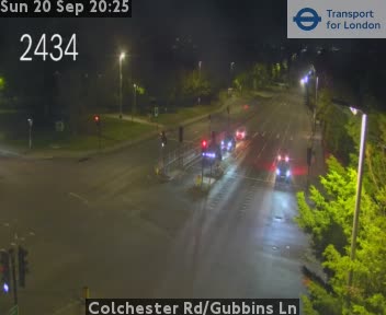

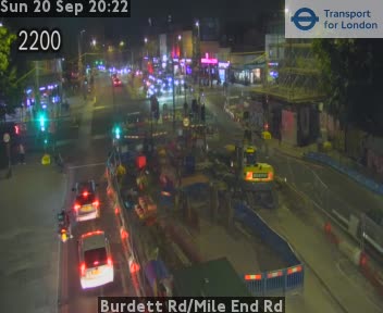
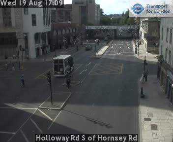

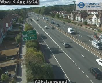
Camera data: Powered by TfL Open Data (all 890 cameras). Snapshots are served by the authority and are not stored by this site. Cameras marked Live video play inline; the rest are still images refreshed by the authority.
Accident news in and near London
119 news reports in the last 30 days, placed by city name in the headline — a separate layer from the police records above.
London — FAQ
Where does the London collision data come from?
How many road accidents happen in London?
Is this map real-time?
Data: DfT STATS19 — police-reported collisions, Greater London (OGL v3), updated 2025-12-31 (public government data, 2025 file). How records are imported, deduplicated and labelled: methodology. See also accidents in United Kingdom and every UK local authority.