I-5 Accidents Today — Live Corridor Watch
Quick answer: 0 news reports naming the I-5 in the last 24 hours, 1 in the last 7 days; 24 official live incidents on or near the road right now; 3 geocoded reports within 20 km. The I-5 is the West Coast interstate from the Mexican border through Los Angeles, Sacramento, Portland and Seattle to Canada.
Latest reports naming the I-5
News items from the last 7 days whose headline names the road, country-matched. Every item links to the publisher.
Live incidents on or near the I-5 right now
Transport-authority and traffic-data incidents within 20 km of the centreline, nearest first.
| Source | Area | Details | km from road | |
|---|---|---|---|---|
| CHP / Caltrans QuickMap | California | 20002-Hit and Run No Injuries — Sr99 N / Hammett Rd Onr | 0.2 | |
| CHP / Caltrans QuickMap | California | Trfc Collision-1141 Enrt — E Eight Mile Rd / Lower Sacramento Rd | 0.9 | |
| MapQuest | Los Angeles | — | 0.9 | |
| CHP / Caltrans QuickMap | California | Trfc Collision-No Inj — Central Ave / Fulkerth Rd | 1.6 | |
| CHP / Caltrans QuickMap | California | 20002-Hit and Run No Injuries — 7270 White House Dr | 1.7 | |
| MapQuest | Los Angeles | — | 2.8 | |
| CHP / Caltrans QuickMap | California | Trfc Collision-1141 Enrt — I405 N / I5 N | 3 | |
| MapQuest | Los Angeles | — | 4 | |
| CHP / Caltrans QuickMap | California | Trfc Collision-Minor Inj — 7575 Power Inn Rd | 4.2 | |
| CHP / Caltrans QuickMap | California | Trfc Collision-Unkn Inj — I405 S / Seal Beach Blvd Sbb | 4.5 | |
| CHP / Caltrans QuickMap | California | Trfc Collision-No Inj — Sr163 S / Genesee No | 4.7 | |
| CHP / Caltrans QuickMap | California | Trfc Collision-No Inj — 0 Sr299 E | 5.5 | |
| CHP / Caltrans QuickMap | California | Trfc Collision-1141 Enrt — I805 S / Market | 5.5 | |
| CHP / Caltrans QuickMap | California | Trfc Collision-1141 Enrt — I5 S / Valley View Ave | 5.8 | |
| CHP / Caltrans QuickMap | California | Trfc Collision-1141 Enrt — US101 S / LAUREL CANYON BLVD | 5.8 | |
| CHP / Caltrans QuickMap | California | Trfc Collision-1141 Enrt — 10 Osborn St | 6.3 | |
| CHP / Caltrans QuickMap | California | 20002-Hit and Run No Injuries — Mona Blvd / E 114th St | 6.7 | |
| CHP / Caltrans QuickMap | California | 20002-Hit and Run No Injuries — Sr91 W / Euclid St | 10.6 | |
| CHP / Caltrans QuickMap | California | Trfc Collision-1141 Enrt — 0 I5 N | 12.4 | |
| CHP / Caltrans QuickMap | California | 20002-Hit and Run No Injuries — 4500 Orange Grove Ave | 13.1 | |
| MapQuest | Los Angeles | — | 14 | |
| CHP / Caltrans QuickMap | California | Trfc Collision-1141 Enrt — SR57 S / LINCOLN | 14.6 | |
| CHP / Caltrans QuickMap | California | Trfc Collision-1141 Enrt — I405 S / N Church Ln Ofr | 16.1 | |
| MapQuest | Los Angeles | — | 16.1 |
Accident reports placed within 20 km of the I-5 (24 h)
City-level placements from the live feed — the dot marks the city named in the headline, not the exact carriageway.
Authority alerts along the I-5 (last 12 hours)
Live posts by transport authorities, read through the public Bluesky API and quoted with a link to the original. Incident posts are listed first.
Source: WSDOT Traffic (Washington State DOT) · WSDOT North (Washington State DOT) · WSDOT Southwest (Washington State DOT) — public posts, © their agencies; re-read every 15 minutes.
Live traffic cameras along the I-5
Public traffic-camera snapshots nearest to the latest geocoded reports on this page, straight from the transport authority. Images refresh on their own schedule (seconds to minutes); a camera is picked by distance and is not necessarily pointed at the incident.
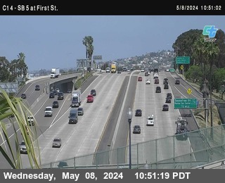

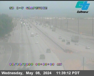
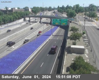
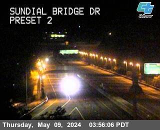
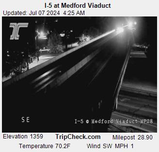
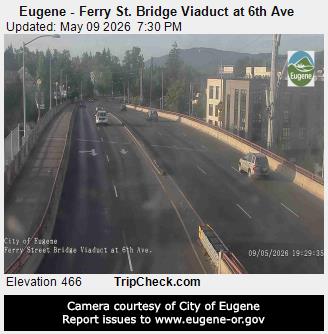
Camera data: Caltrans (California Department of Transportation) (all 2,836 cameras) · TripCheck / Oregon Department of Transportation (all 1,143 cameras). Snapshots are served by the authority and are not stored by this site. Cameras marked Live video play inline; the rest are still images refreshed by the authority.
I-5 accident history
Recorded fatal crashes (NHTSA FARS 2020–2024) on this road by year, severity, road user, place and time of day.
I-5 — FAQ
Is there an accident on the I-5 today?
Where does this I-5 page get its data?
How is 'near the I-5' defined?
What should I do if I am in a crash on the I-5?
Corridor pages are computed from feeds already on this site (official incidents, news, cameras) — nothing here is estimated. Country context: United States accidents today.