I-15 Accidents Today — Live Corridor Watch
Quick answer: 0 news reports naming the I-15 in the last 24 hours, 2 in the last 7 days (headlines state 2 deaths); 7 official live incidents on or near the road right now; 1 geocoded report within 20 km. The I-15 is the 1,433-mile interstate from San Diego through the Cajon Pass, Las Vegas, St. George, Salt Lake City and Idaho Falls to the Canadian border, the main route between Southern California and Las Vegas.
Latest reports naming the I-15
News items from the last 7 days whose headline names the road, country-matched. Every item links to the publisher.
Live incidents on or near the I-15 right now
Transport-authority and traffic-data incidents within 20 km of the centreline, nearest first.
| Source | Area | Details | km from road | |
|---|---|---|---|---|
| CHP / Caltrans QuickMap | California | Trfc Collision-No Inj — Sr163 S / Genesee No | 0 | |
| Nevada 511 | Nevada | Traffic advisory on ramp from 1 to I-15 Northbound. Lane Affected. Start time: 10/11/2026 3:31 PM. Public Details: USE CAUTION AND EXPECT … | 0.1 | |
| Montana 511 | Montana | I-15 SB at MP 155.0 — Crash — Blocked lanes — Emergency vehicles — | 1.5 | |
| CHP / Caltrans QuickMap | California | 20001-Hit and Run w/Injuries — I215 S / Nuevo Rd | 4.7 | |
| CHP / Caltrans QuickMap | California | Trfc Collision-1141 Enrt — I805 S / Market | 5.5 | |
| CHP / Caltrans QuickMap | California | Trfc Collision-1141 Enrt — 10 Osborn St | 6.3 | |
| Montana 511 | Montana | I-90 WB from MP 231.5 to 231.6 — Crash — Blocked lanes — Emergency vehicles — | 7.6 |
Accident reports placed within 20 km of the I-15 (24 h)
City-level placements from the live feed — the dot marks the city named in the headline, not the exact carriageway.
Live traffic cameras along the I-15
Public traffic-camera snapshots nearest to the latest geocoded reports on this page, straight from the transport authority. Images refresh on their own schedule (seconds to minutes); a camera is picked by distance and is not necessarily pointed at the incident.
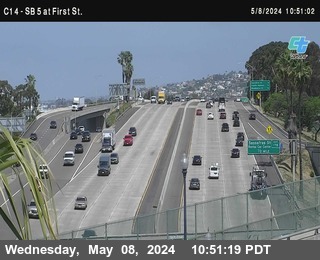

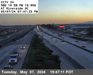
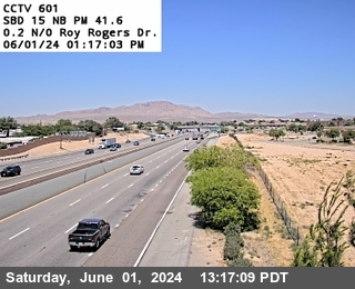
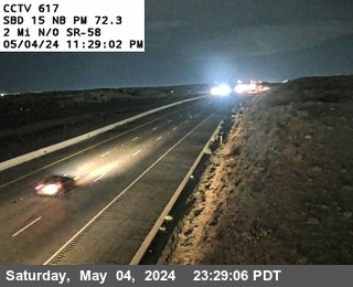


Camera data: Caltrans (California Department of Transportation) (all 2,836 cameras) · NVRoads / Nevada Department of Transportation (all 652 cameras). Snapshots are served by the authority and are not stored by this site. Cameras marked Live video play inline; the rest are still images refreshed by the authority.
I-15 accident history
Recorded fatal crashes (NHTSA FARS 2020–2024) on this road by year, severity, road user, place and time of day.
I-15 — FAQ
Is there an accident on the I-15 today?
Where does this I-15 page get its data?
How is 'near the I-15' defined?
What should I do if I am in a crash on the I-15?
Corridor pages are computed from feeds already on this site (official incidents, news, cameras) — nothing here is estimated. Country context: United States accidents today.