Coquihalla Highway Accidents Today — Live Corridor Watch
Quick answer: 0 news reports naming the Coquihalla Highway in the last 24 hours, 1 in the last 7 days; 2 official live incidents on or near the road right now; 0 geocoded reports within 12 km. The Coquihalla Highway is the 203-km mountain freeway over the Coquihalla Summit, closed by snow, slides and multi-vehicle pile-ups every winter.
Latest reports naming the Coquihalla Highway
News items from the last 7 days whose headline names the road, country-matched. Every item links to the publisher.
Live incidents on or near the Coquihalla Highway right now
Transport-authority and traffic-data incidents within 12 km of the centreline, nearest first.
| Source | Area | Details | km from road | |
|---|---|---|---|---|
| DriveBC | British Columbia | — | 3 | |
| DriveBC | British Columbia | — | 4.6 |
Live traffic cameras along the Coquihalla Highway
Public traffic-camera snapshots nearest to the latest geocoded reports on this page, straight from the transport authority. Images refresh on their own schedule (seconds to minutes); a camera is picked by distance and is not necessarily pointed at the incident.
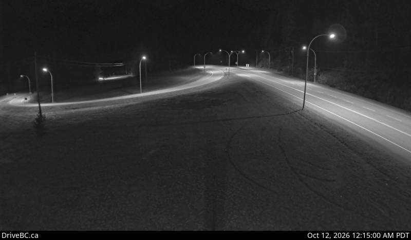
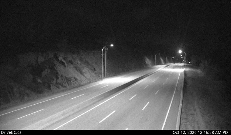
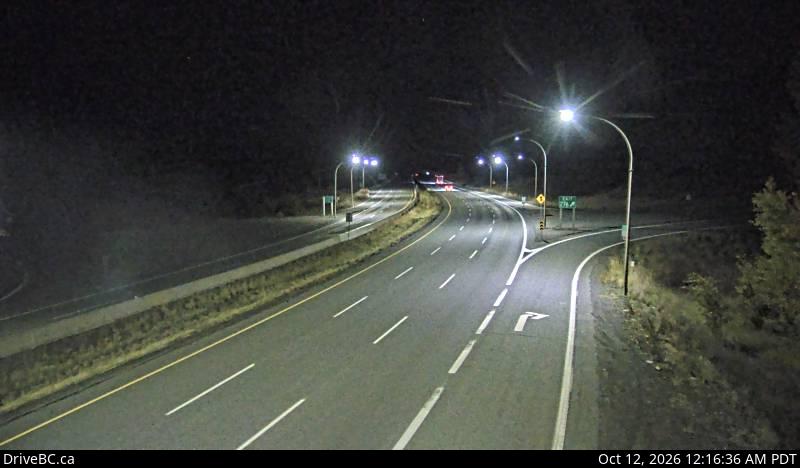
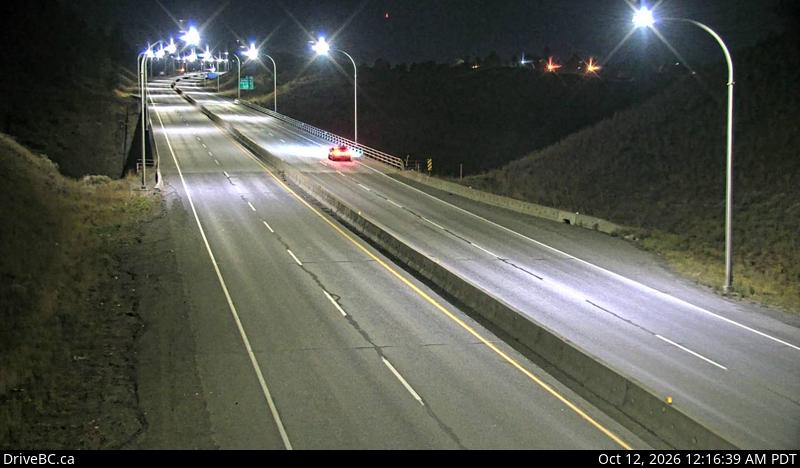
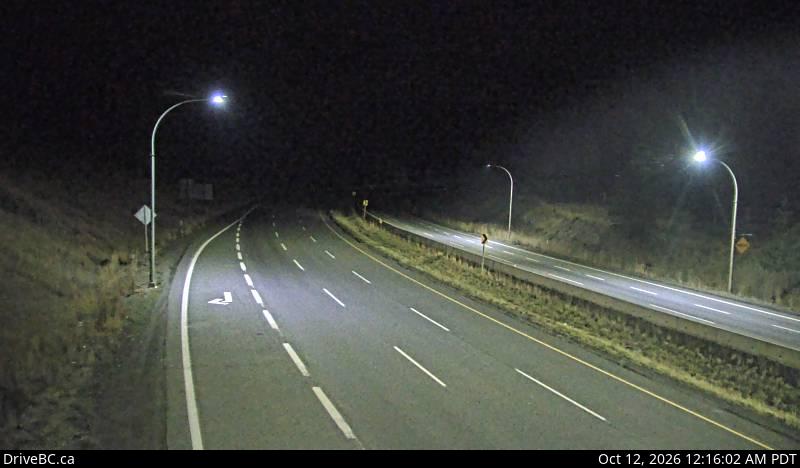
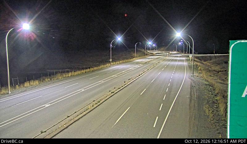
Camera data: DriveBC (Government of British Columbia, Open Government Licence – BC) (all 1,029 cameras). Snapshots are served by the authority and are not stored by this site. Cameras marked Live video play inline; the rest are still images refreshed by the authority.
Coquihalla Highway — FAQ
Is there an accident on the Coquihalla Highway today?
Where does this Coquihalla Highway page get its data?
How is 'near the Coquihalla Highway' defined?
What should I do if I am in a crash on the Coquihalla Highway?
Corridor pages are computed from feeds already on this site (official incidents, news, cameras) — nothing here is estimated. Country context: Canada accidents today.