Quick answer:
15 traffic incidents are live on British Columbia highways right now, as published by British Columbia Ministry of Transportation (DriveBC) and read 9 min ago.
In an emergency call 911; for road conditions dial 511.
15
Live incidents
read 9 min ago
0
With a description
in the authority's words
0
Roads named
in current incidents
1
Official source
re-read every 15 min
— zones in view
Official traffic incident Accident report · last 24hToggle CAMERAS for live views
15 live now
Current incidents on British Columbia highways
Each line is the incident exactly as British Columbia Ministry of Transportation (DriveBC) publishes it. Incidents leave this list when the authority clears them.
DriveBCIncident reported (the authority publishes no description) × 1551.011, -118.210
Official DOT feeds · live snapshots
Live traffic cameras in British Columbia
Public traffic-camera snapshots nearest to the latest geocoded reports on this page, straight from the transport authority. Images refresh on their own schedule (seconds to minutes); a camera is picked by distance and is not necessarily pointed at the incident.
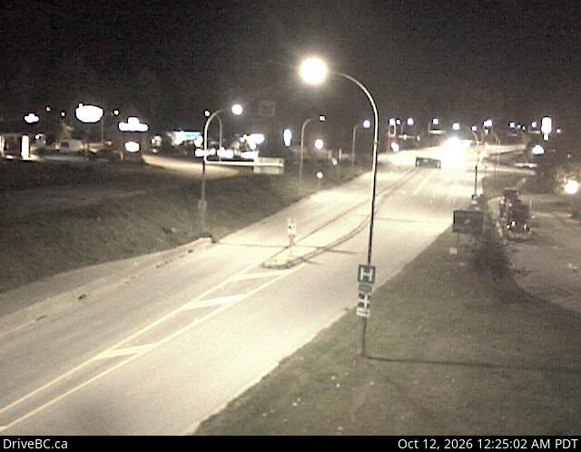
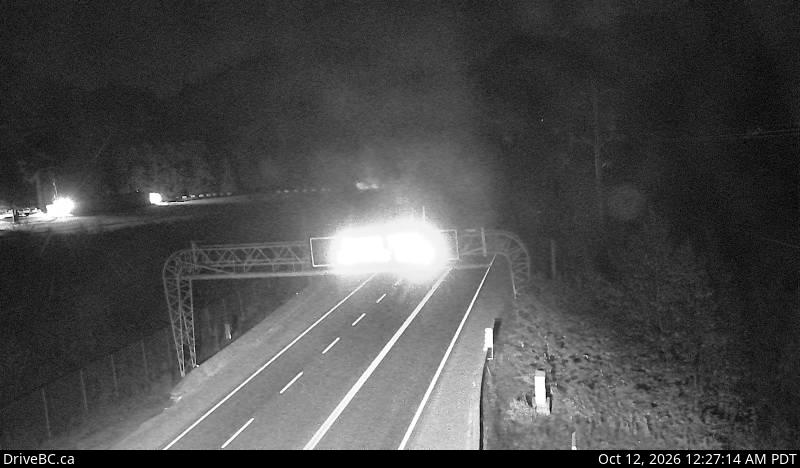
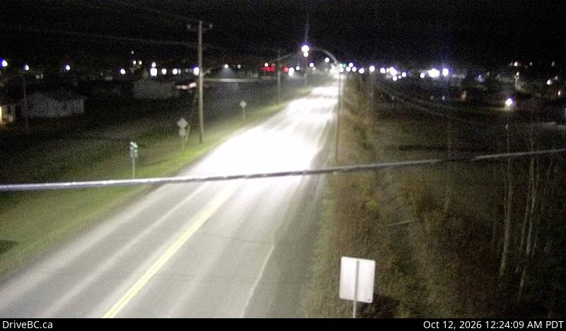
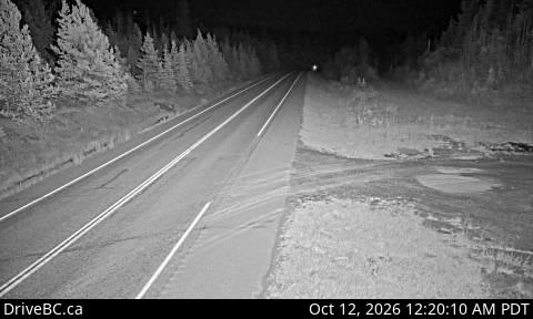
Snapshot · auto-refreshRevelstoke — Highway 1 at east end of Columbia River Bridge in Revelstoke, looking eastbo…DriveBC webcams · 0.7 km from: British ColumbiaSnapshot · auto-refreshDragon Lake - E — Highway 97 at Sales Road about 10 km south of Quesnel, looking east.DriveBC webcams · 5.0 km from: British ColumbiaSnapshot · auto-refreshDevil Lake - NE — Highway 7 about 2 km west of Hope, looking eastbound.DriveBC webcams · 2.9 km from: British ColumbiaSnapshot · auto-refreshChimdemash — Highway 16 near Chimdemash Creek about 22 km east of Highway 16 and Highway …DriveBC webcams · 2.9 km from: British ColumbiaSnapshot · auto-refreshFort St. James - N — Highway 27 at Hill Street/Greenview Drive in Fort St. James, looking…DriveBC webcams · 6.1 km from: British ColumbiaSnapshot · auto-refreshWhiskers Point - S — Highway 97 near Whiskers Point Provincial Park entrance on the east …DriveBC webcams · 15.4 km from: British Columbia
Are there any accidents or road closures in British Columbia right now?
Yes. The official feed lists 15 active incidents on British Columbia highways as of 06:15 UTC on 12 October 2026. The list on this page shows each one in the authority's own words.
Where does this British Columbia traffic information come from?
Directly from British Columbia Ministry of Transportation (DriveBC). The site reads the published feed every 15 minutes and keeps only incidents: crashes, closures, disabled vehicles, debris, flooding and similar hazards. Planned roadworks and maintenance are filtered out.
What should I do if I see a crash in British Columbia?
If anyone is hurt or the road is blocked, call 911. Move to a safe place away from traffic before calling, give the road name, direction and nearest junction or exit, and do not stop in live lanes to take photos. For non-emergency road conditions, dial 511 or use the authority's 511 website.
Why are some incidents missing from the map?
Only incidents the authority publishes with coordinates can be mapped. Some reports carry only a road name, and incidents on local streets are often handled by police without appearing in the highway feed. News reports of accidents appear separately on the Canada accidents today page.
Incident text is quoted from the publishing authority and remains its copyright. Coordinates are as published. Feed health for every source: status · methodology.